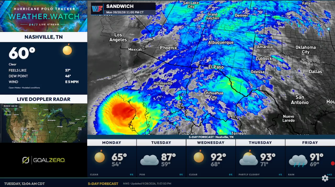
IMPACT OVERVIEW
From Baja to the Southwest and southern Plains
By Weather.Watch · Summary checked
This dated overview covers the forecast available on September 28. The stream runs continuously; this written summary does not update automatically. Use the official sources below for current advisories and local warnings.
Baja California
Polo is bringing a hurricane threat to Baja California Sur. Follow the National Hurricane Center and local authorities for wind, coastal hazards, heavy rainfall, and flooding guidance.
New Mexico
Tropical moisture and Polo’s remnants interacting with a larger weather system are forecast to raise the heavy-rain and flash-flood threat across parts of New Mexico into midweek.
Texas
Forecast concerns include rainfall in far west Texas and the Panhandle, with heavy-rain potential extending into parts of central Texas later in the week. Impacts will vary by location.
Oklahoma
The Panhandle and parts of Oklahoma are included in the evolving inland rainfall threat. Watch local forecasts as the focus of the heaviest rain shifts during the week.
The U.S. concern is rainfall and flooding associated with tropical moisture and the remnants—not hurricane-force conditions throughout these states. A forecast risk does not mean flooding is occurring everywhere in the highlighted region.